
SWIM: About Pages
Curious about what SWIM is all about? Please explore the short articles, written by SWIM Team Members covering various aspects of the datasets included in the search for subsurface water ice on Mars.
Follow us on Twitter!Article List
SHARAD Surface Reflectivity
By: Dr. Gareth Morgan
Last Updated: 11/11/2020
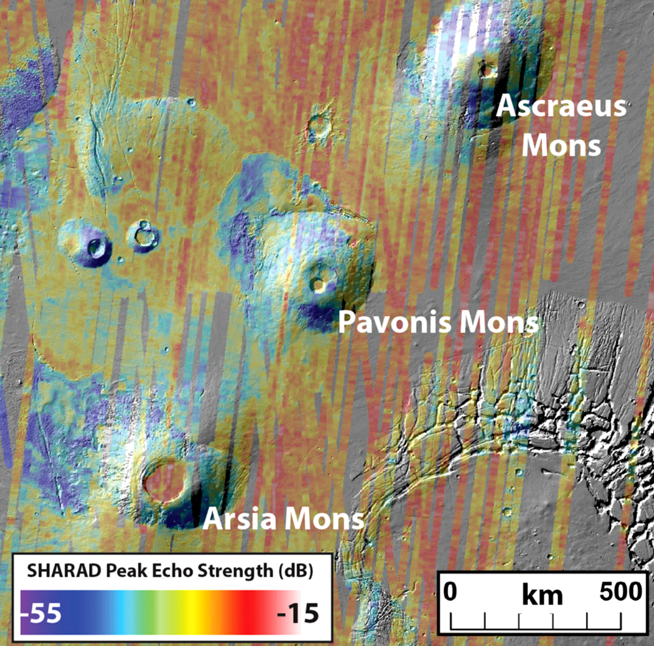
The SHAllow RADar (SHARAD) was designed to study the subsurface structure of Mars through the detection of reflections originating from boundaries between underground layers with contrasting compositions (or more specifically, dielectric properties). Indeed, one of the central tasks of this project uses SHARAD data for this very purpose to search for buried ice-rich layers. Echoes returned from the surface of Mars, however, also contain a wealth of useful information including surface roughness and surface (Fresnel) reflectivity. Surface roughness is a measure of the slope distribution exhibited by the surface over set horizontal base lengths. For SHARAD, the base length is defined by the transmitted wavelength (central wavelength: 15 m), which corresponds to 10 - 100 m. To take advantage of this information, a SHARAD surface roughness parameter was derived by Campbell et al. (2013), and has been applied to a diverse range of studies such as landing site safety assessments (Putzig et al., 2017). The SWIM project also incorporates the roughness parameter in order to map out the extent of potentially ice-rich mantling units (observed in high resolution image data) as part of the morphological analysis.
Normalizing the SHARAD surface return by the surface roughness parameter isolates the reflectivity of the surface. Why is this important? Well, the reflectivity provides a measure of the surface density and ice is a low density material, especially in comparison to the regolith and rock that makes up most of the surface. Also, the ‘surface’, as far as the SHARAD wavelength is concerned, actually refers to the upper 5 m of the subsurface, meaning that the bulk density over this range can be constrained. As every SHARAD measurement includes a value of the surface power returned, we can generate density estimates across the planet and use them to search for low power regions which may indicate the presence of shallow buried ice.
To test our approach, we compared the relationship between surface power and roughness exhibited by distinct Martian terrain types. Our analysis revealed that different units display similar curves, albeit with an offset in power. For example high density terrains, such as young volcanics were found to sit higher on the power axis relative to the icy polar caps. The similarity expressed by the different terrains validates our approach to normalize surface power by the SHARAD roughness in order to constrain Fresnel reflectivity.