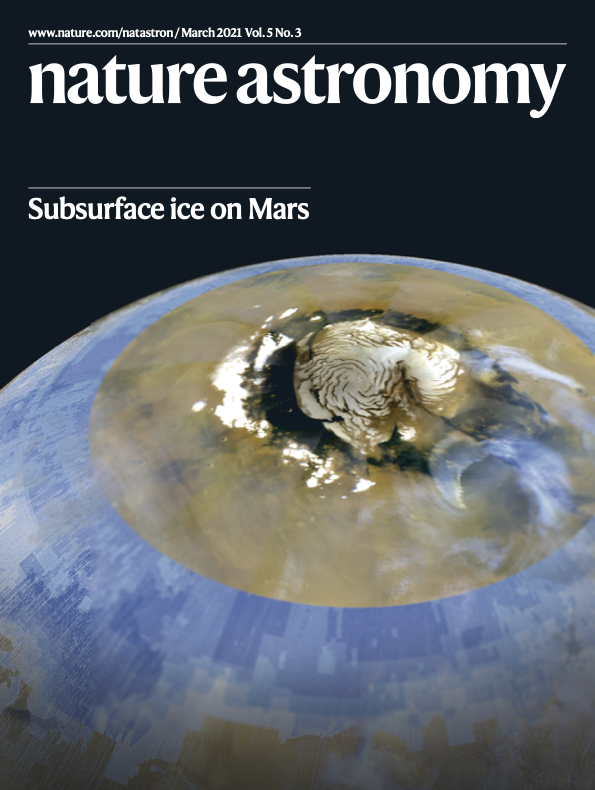
Subsurface Water Ice Mapping on Mars
An effort to support NASA's Mars Exploration Program in identifying the location and nature of potential water resources on Mars. The SWIM project’s products support Mars Human Landing Sites Studies as well as planning for further resource assessment needs. The first phase of the SWIM project, completed in 2019, focused on the northern hemisphere. The second phase, completed in 2020, expanded our analysis to also include the southern hemisphere.
Learn More!NASA Mars Water Resource Maps
Welcome!
Welcome to the Subsurface Water Ice Mapping (SWIM) on Mars project website! We are exicted to announce a new season of SWIM analysis, the Subsurface Water Ice Mapping on Mars for the "International Mars Ice Mapper" (SWIM4IMIM). In this new round of analysis, our team will be focusing on high-resolution geomorphological grid-mapping analyses using the Mars Reconnaissance Orbiter Context Camera (CTX) and High-resolution Imaging Experiment (HiRISE) imagery in order to set constraints on the southern most extent of accessible subsurface water ice.
Follow us on Twitter!Products from the SWIM pilot study, SWIM 1.0, and SWIM 2.0 studies are still available under the Products tab or by following the links provided below. The SWIM pilot study was the initial testing ground for the development of the techniques used in subsequent studies and focused on a mid-latitude swath in the Arcadia Planitia region on Mars. SWIM 1.0 focused on futher refining our techniques on most of the northern hemisphere mid-latitudes, while SWIM 2.0 looked at subsurface water ice in the southern hemisphere mid-latitude and infilled the Tharsis region, which was left out in the SWIM 1.0 study due to elevation constraint. SWIM 2.0 results have a cut off elevation of +1 km about the areoid (Martian geoid) due to entry, decent, and landing consideration given our current technological capabilities.
